
Navigation UTM Scale Tool Sale
Description
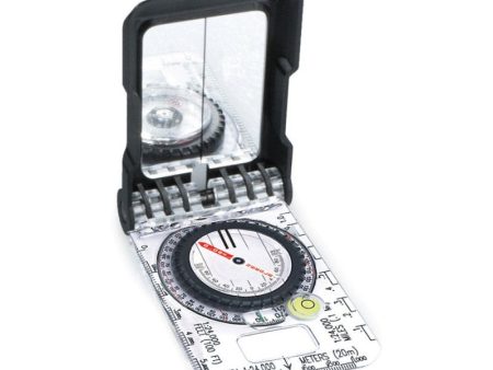
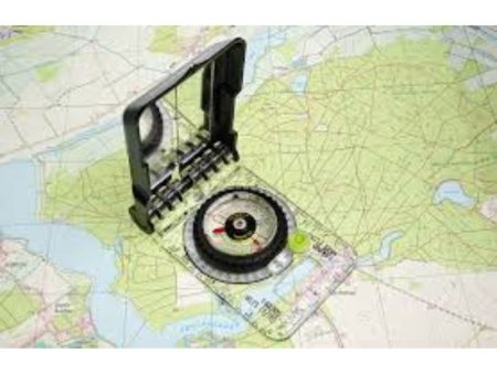
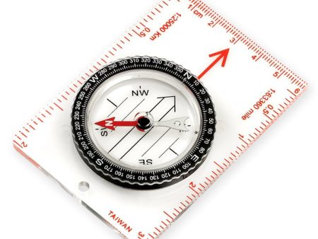
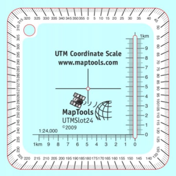
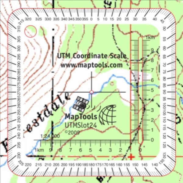
This tool enables you to plot UTM coordinates to a 10 meter accuracy within a 1 kilometer grid square. The tool also has a compass rose along its outside edge. This makes plotting or measuring a bearing a snap.
The small size of this tool will allow you to keep it handy in your pocket. A band of white ink around the edge of the tool makes reading the compass rose easier and also keeps the tool from disappearing when you place it on the map. There is also a lanyard hole in the upper left corner.
We highly recommend pairing this sheet with the components in our of our curated Survival Navigation Kits where you ll have all the tools you need to the understanding of navigation.
Printed on plastic stock, the tool is about the thickness of a credit card. The ink is coated to protect it from abrasion.
View tutorial on how to use this type of tool
Specifications
Scales:
- 1:24,000 x 1km
-
Dimensions:
Height: 3.000 in. (76mm)
Width: 3.000 in. (76mm)
Thickness: 0.030 in. (1mm)
Made in United States.
Additional Information
| Title | Default Title |
|---|